Skip to content
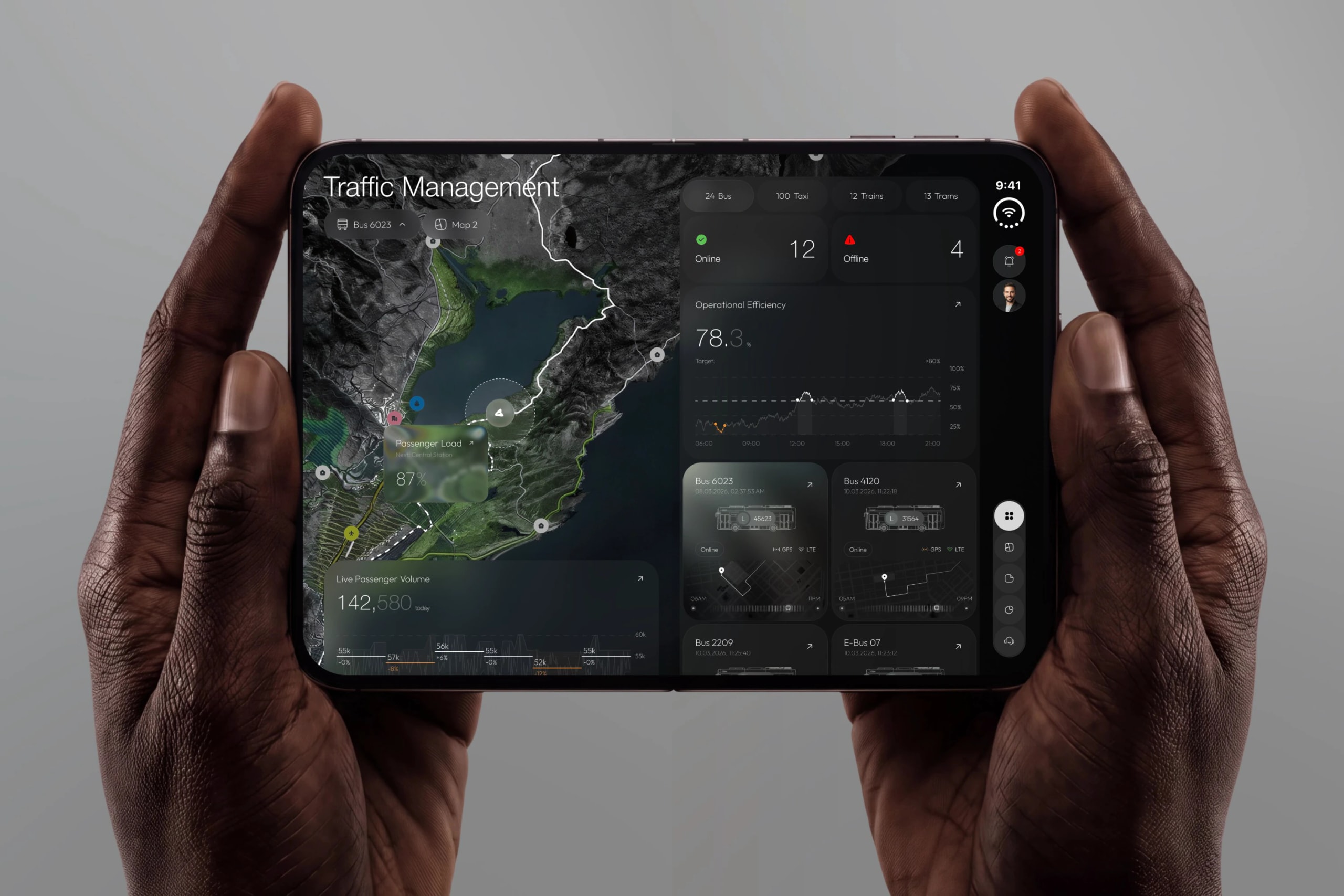
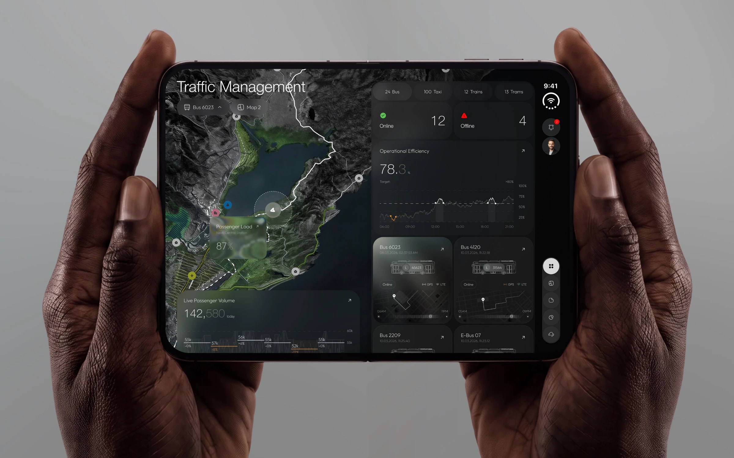
Corso on a foldable phone held in two hands: the satellite map on the left, the fleet on the right.

Corso

A whole city fleet, on a map that fits in your hand.

Corso follows public transport in real time: buses, taxis, trains and trams, on the satellite map. The dispatcher sees at a glance what is online and what is not, how full each bus is and how the day is going.

Year
2026
Sector
Public transport · App
Disciplines
UI/UX
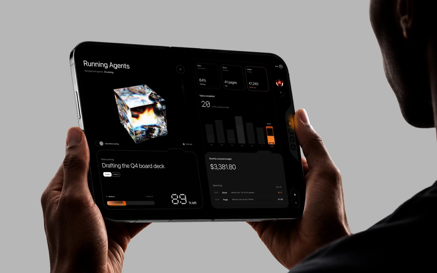
  • Corso open on a foldable phone: the map with passenger load, the fleet online and offline, the day’s efficiency and the bus cards.
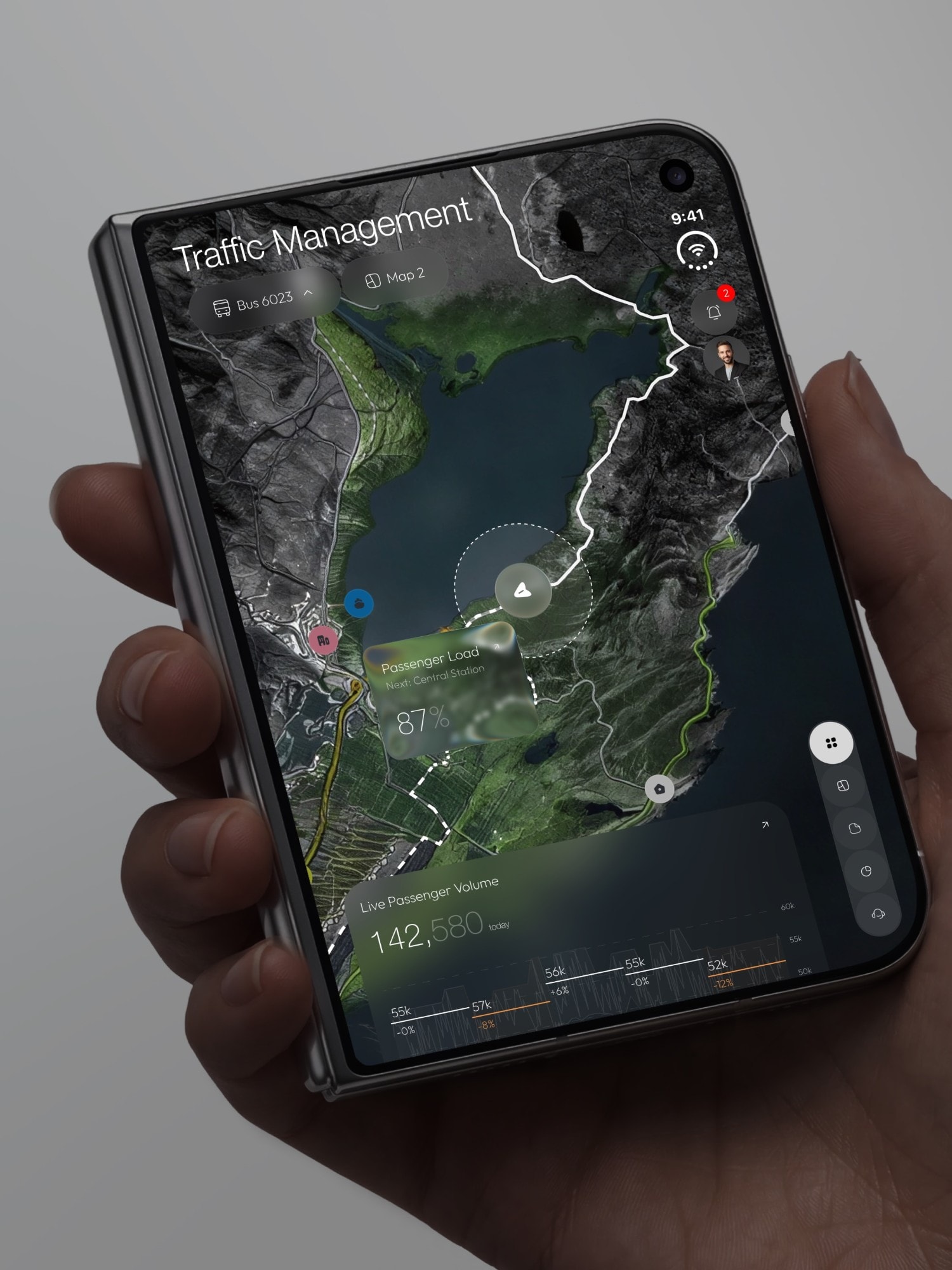
  • The map on the folded screen: passenger load, the day’s volume and the navigation rail.
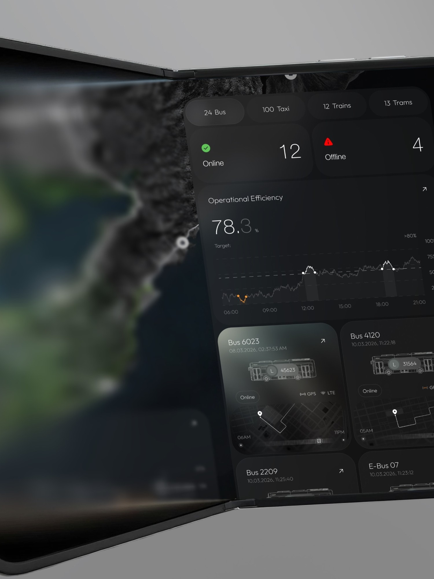
  • The fleet panel: buses, taxis, trains, trams, operational efficiency and the bus cards.
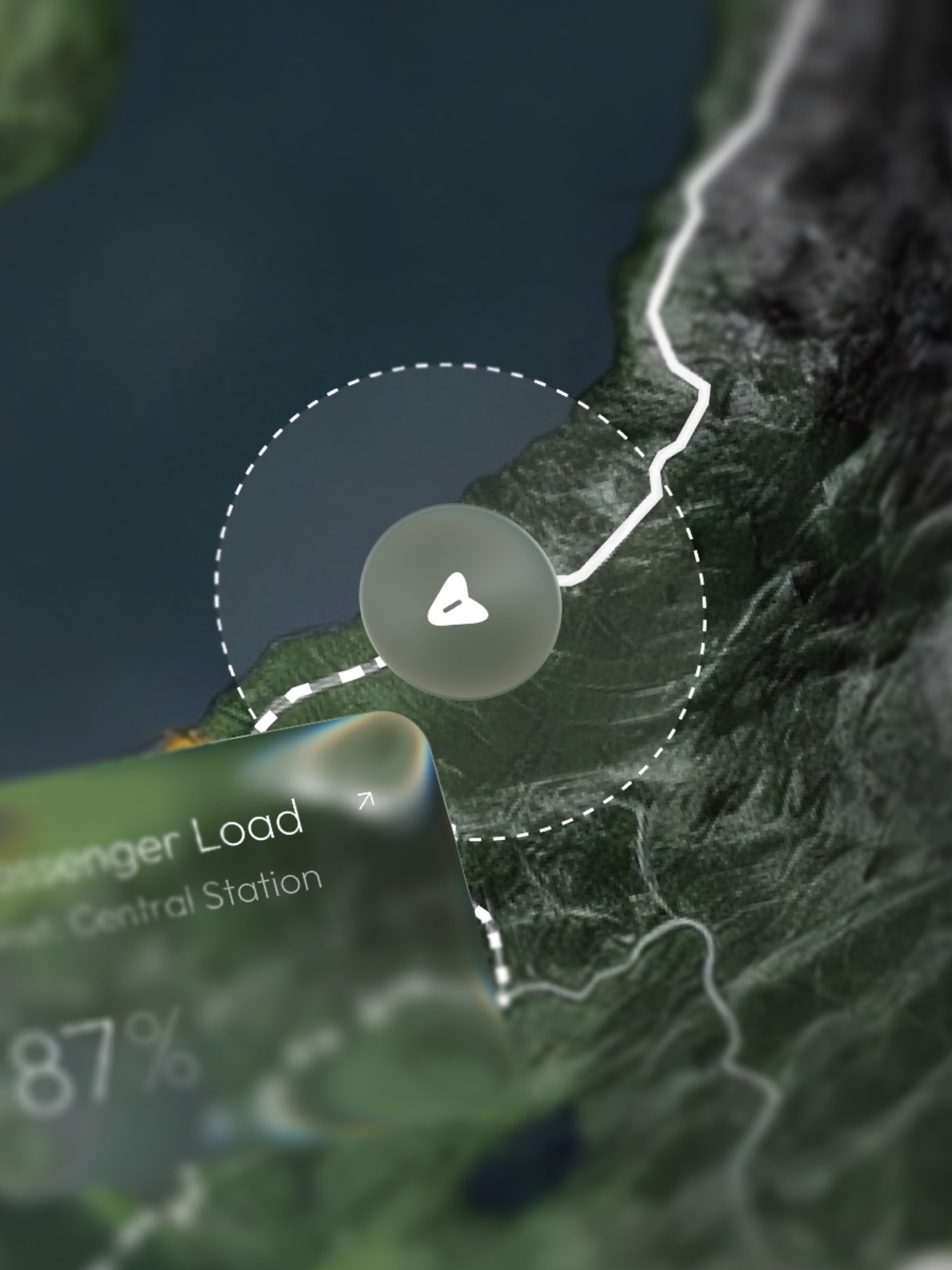
  • Detail: the bus on its route and the glass card with passenger load.
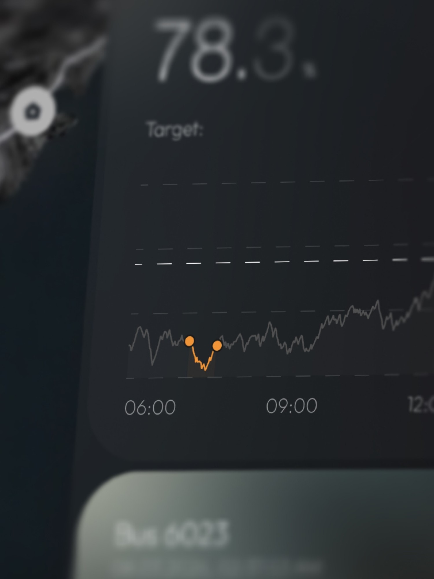
  • Detail: the efficiency chart, the morning dip marked in orange.
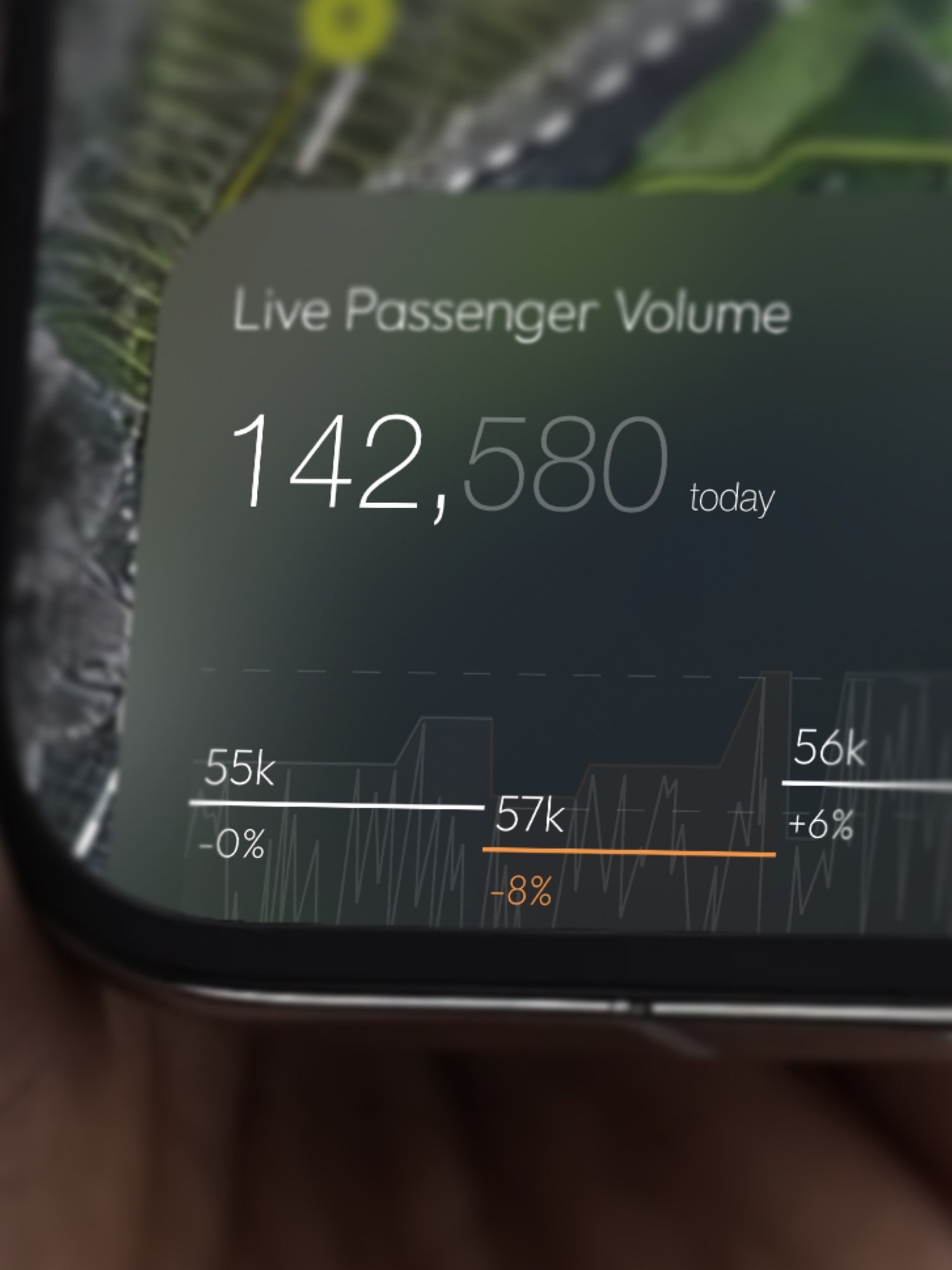
  • Detail: the day’s passenger volume, by interval.
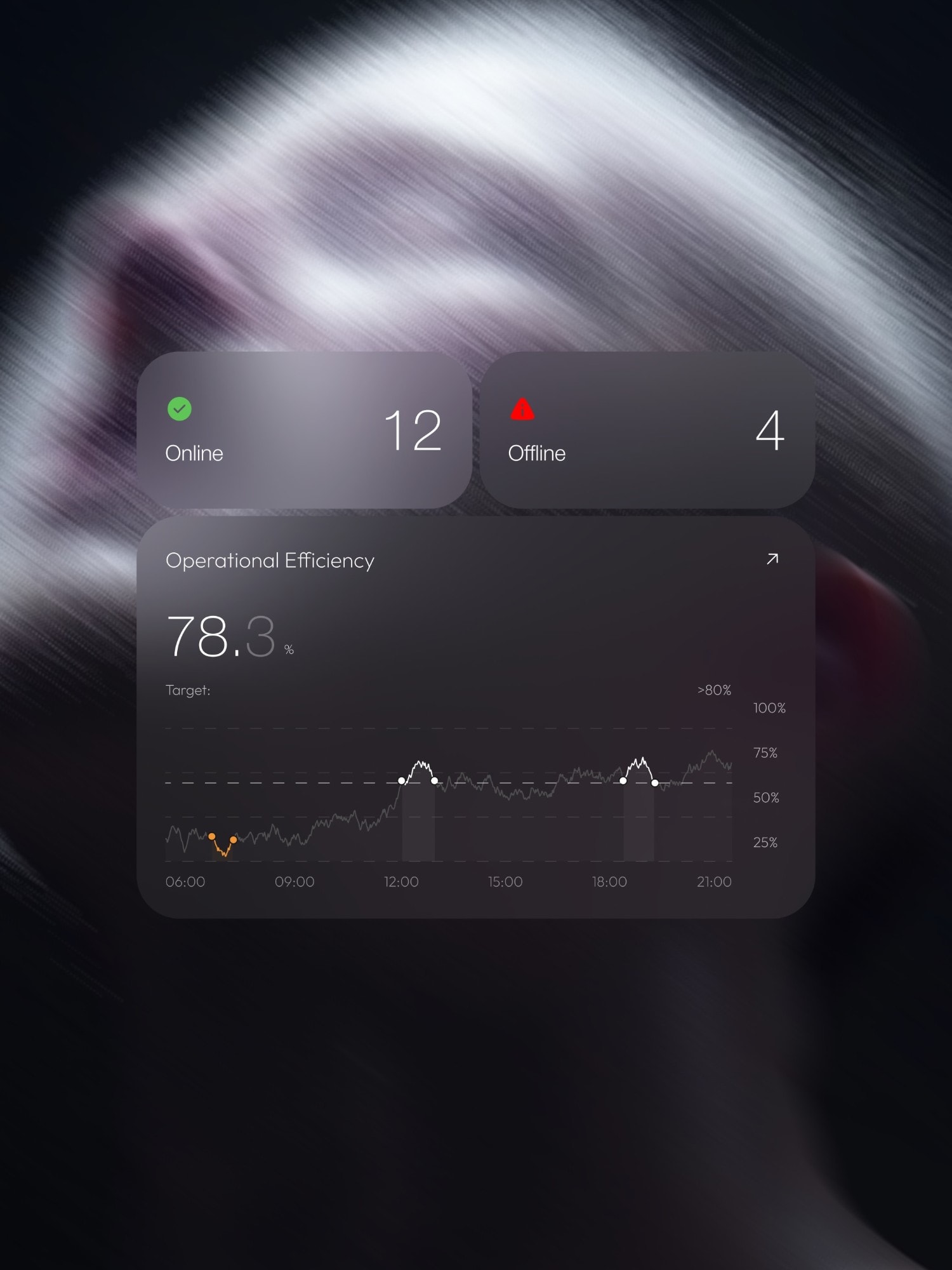
  • The online, offline and operational efficiency cards on a dark backdrop.
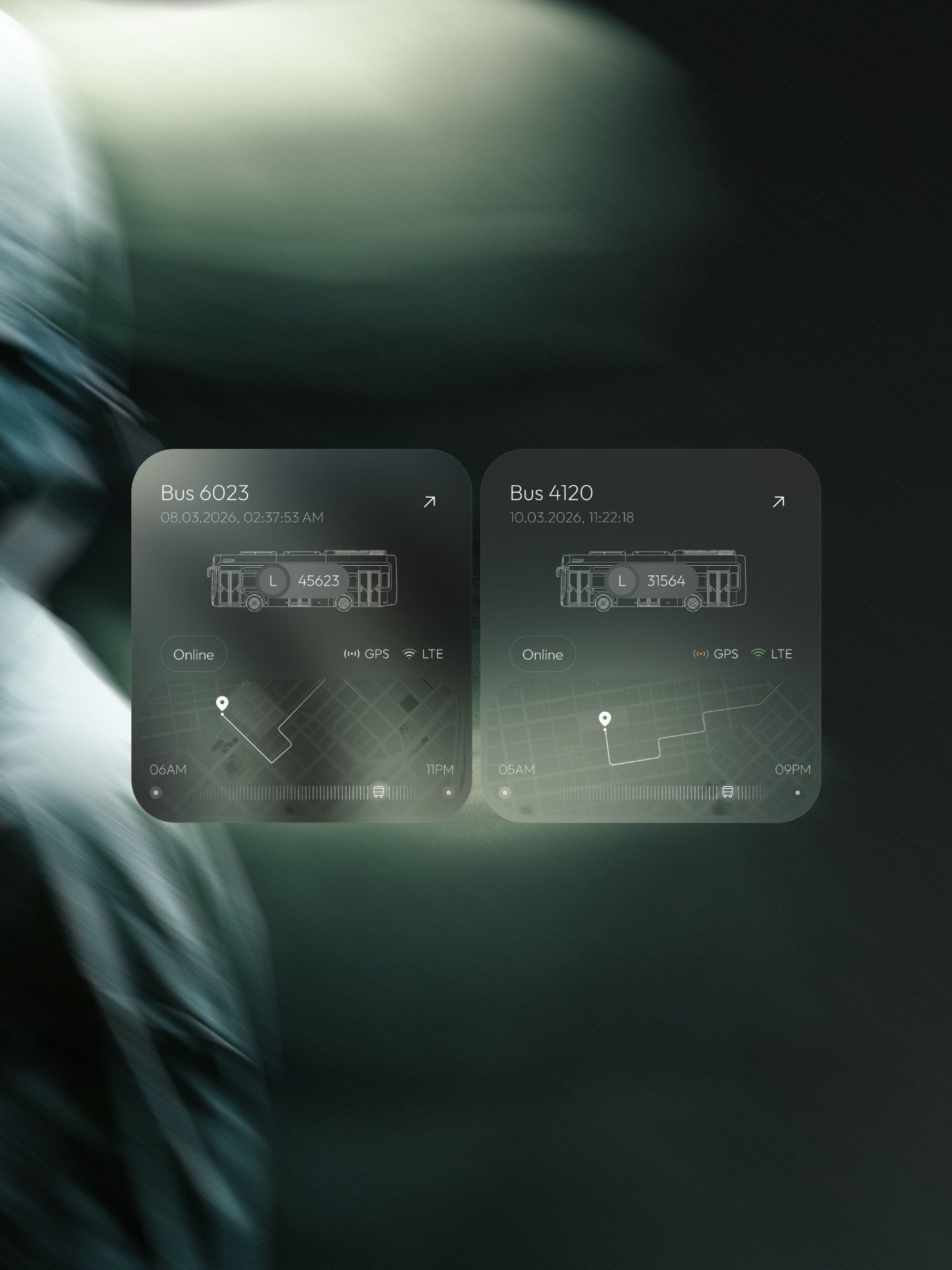
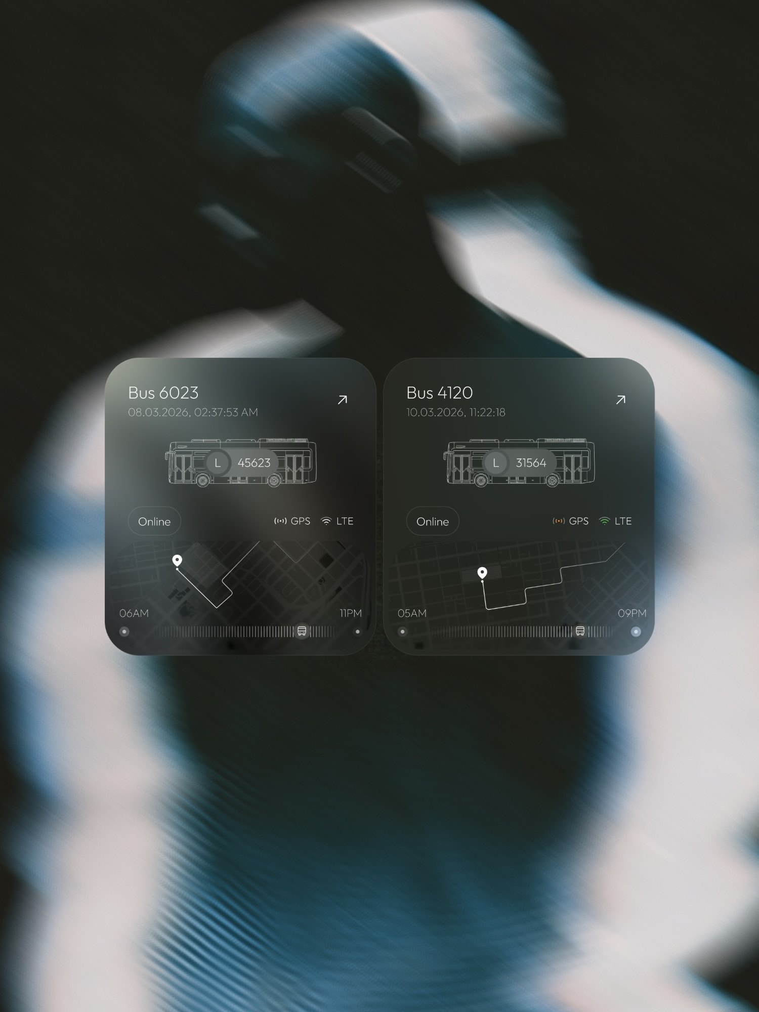
  • Two bus cards, with the route, the GPS and LTE signal and the day’s schedule.
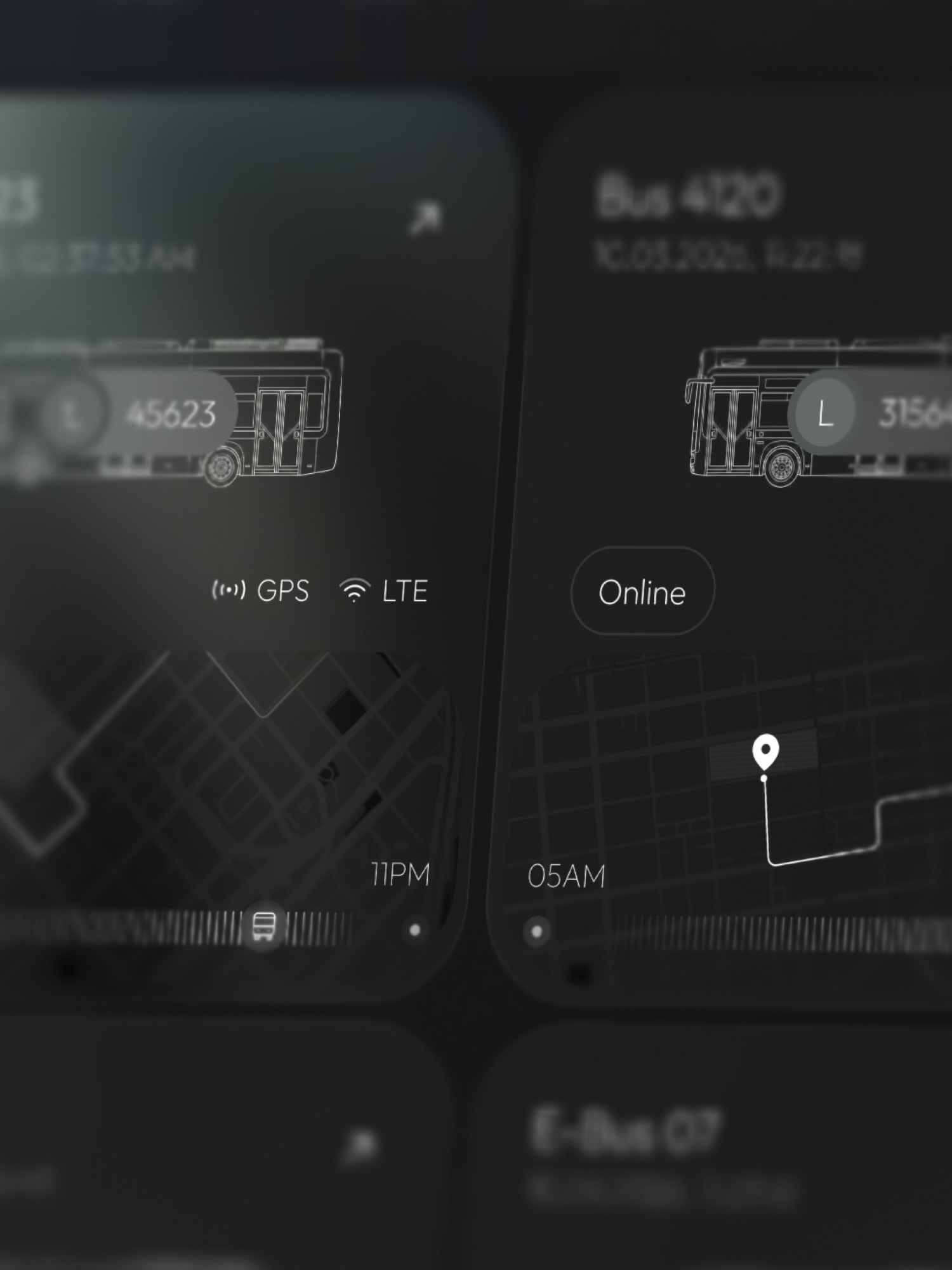
  • Detail: the bus cards, each with a line drawing of its vehicle.
  • The bus cards on a night-blue backdrop.